ISS
International Space Station
The ISS is the largest structure in orbit. Its ground track reaches higher latitudes than Tiangong, so the two stations do not pass over the same cities.
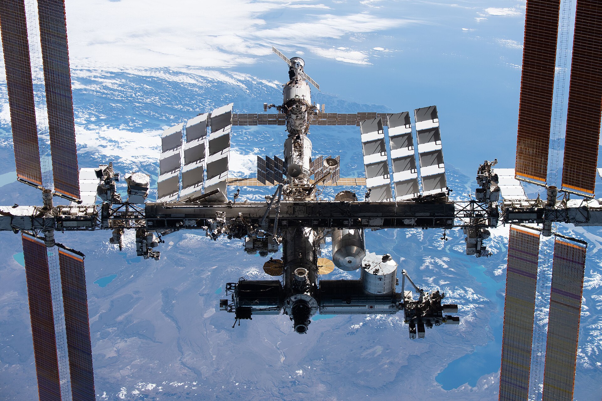
NASA / Crew-2 · Public domain
In orbit
Since 1998
Crewed
Since 2000
Inclination
51.6°
Altitude
~420 km
Period
~93 min
NORAD
25544
What it is
A laboratory assembled in low Earth orbit. The first module, Zarya, launched on 20 November 1998. A crew has been on board continuously since 2 November 2000. NASA, Roscosmos, ESA, JAXA, and the Canadian Space Agency operate it together.
How it moves
It flies near 420 km, inclined 51.6° to the equator. That inclination is the highest latitude the ground track reaches, which includes most of Europe, the United States, China, and a wide band of the Americas. One revolution takes about 93 minutes, roughly 16 orbits a day.
How it appears
From the ground it is a steady white point, brighter than most aircraft and without flashing lights, crossing the sky in a few minutes. The structure spans about 109 meters. At that distance, only the reflection is visible.
On this map
Position updates continuously. The ring is a 500 km radius, the same distance the notice uses. With an active membership, an hourly check looks for an approach inside that radius and sends it to Telegram.